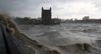
The deep depression over the Bay of Bengal intensified into a cyclone on Monday evening, the India meteorological department said, maintaining that it would not have any major impact on the Indian coast.

The cyclonic storm has been christened 'Hamoon', a name given by Iran.
The deep depression over Bay of Bengal moved north with a speed of 14 kmph during the last six hours and intensified into a cyclonic storm, the IMD said.
At 5.30 pm, the system was around 230 km off the Paradip coast in Odisha, 360 km south of Digha in West Bengal, and 510 km south-southwest of Khepupara in Bangladesh, it said.
"It is likely to intensify further into a severe cyclonic storm over northwest Bay of Bengal during the next 12 hours," The IMD said.
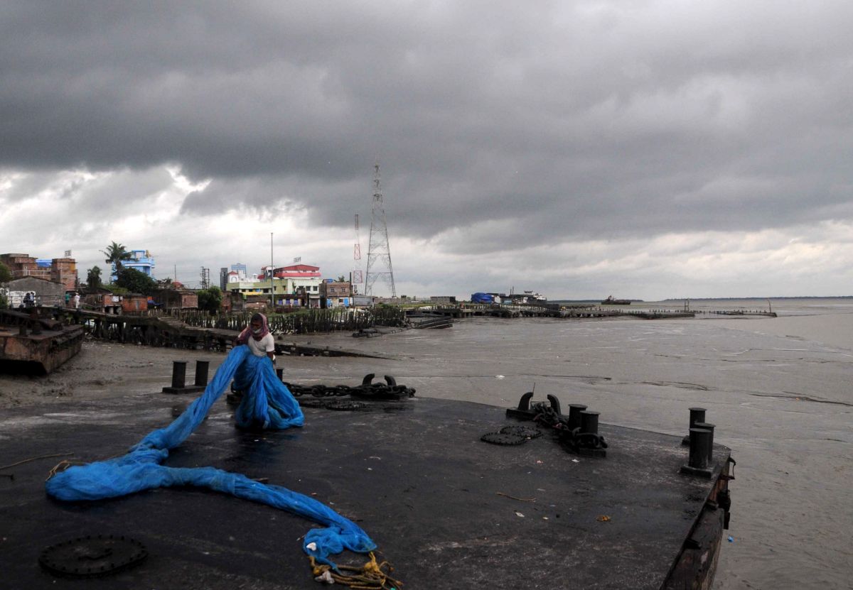
The system is very likely to cross Bangladesh coast, between Khepupara and Chittagong, around 12 pm on October 25 as a deep depression, it said.
The Odisha government has asked all the district collectors to remain prepared for any eventuality, and directed the administration to evacuate people from low-lying areas in the event of heavy rain.
"The system (cyclone) will move over the sea around 200 km from Odisha coast," weather scientist US Dash said, adding that under its influence, light to moderate rainfall is likely at a few places in coastal Odisha on Monday and at many places over the next two days.
IMD director general Mrutyunjay Mohapatra said the wind speed over the Bay of Bengal will gradually increase to 80-90 kmph gusting to 100 kmph by Tuesday morning.
He said there will be no direct impact of the likely cyclone on Odisha, but some Durga Puja pandals, which are not strong enough to withstand such wind speeds, could suffer damage.
Odisha received about 15 mm of rainfall in the last 24 hours under the influence of the system.
Light to moderate rain may continue in the coastal areas on Monday and Tuesday, the weather office said.
Heavy rainfall (7-11 cm) might occur at one or two places in Bhadrak, Kendrapada and Jagatsinghpur till 8.30 am on Tuesday, it said.
The IMD has also asked fishermen not to venture into west-central Bay of Bengal till Wednesday, and along and off the Odisha coast and north Bay of Bengal during Monday-Wednesday.
Meanwhile, in neighbouring West Bengal, the Met department forecast thunderstorms with lightning and moderate rainfall in parts of Purba Medinipur, Kolkata and South 24 Parganas districts on Monday and Tuesday.
Light to moderate rainfall in some parts of the state dampened the festive mood of revellers on 'Nabami', though people were seen braving the weather with colourful umbrellas at various Durga Puja pandals.