For one, triangles are involved, explains Devangshu Datta.
The new agreement on the official height of Mount Everest is more of a political statement than a feat of science.
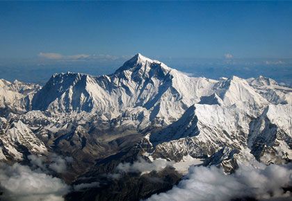
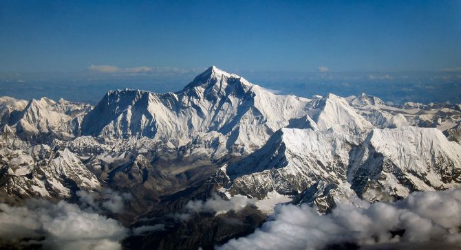
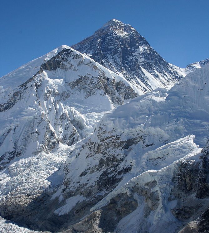
The official height is now 8,848.86 metres, which is slightly less than a metre higher than the previous 'official' figure.
As every mountaineer knows, Everest (aka Sagarmatha in Nepal, and Qomolangma in Tibet) has a North Face in Tibet while the South Face is in Nepal.
Geographical features on sensitive political borders often cause disputes, as Indians know.
The country that controls Tibet has been at the centre of several such disputes with India. It is also involved in a long-running dispute with several other countries about the ownership of an archipelago, which is called the Spratlys on most maritime charts.
These sensitivities can extend to the names, too.
For decades, mariners have called the same body of water the Sea of Japan when they dock in Yokohama, and switched to calling it the East Sea when sailing into Inchon, Korea.
Hence, the Everest agreement is a symbolical political statement, given that the two nations in question have been squabbling about the official height for years.
The mountain was first recognised as the tallest in the world in the 1860s, when the Brits named it after a retired Surveyor General of India, Sir George Everest. (There is a group of Indians who want it renamed after Radhanath Sikdar, who first calculated its height.)
The official height has changed over the years.
Sikdar & Co carried out insanely tedious physical labour to calculate the height in the 1860s.
The Indian government sent an expedition in 1955, which refined that calculation.
The latest calculation uses GPS technology, which pushes the envelope more in accuracy.
Moreover, the actual height is very likely to have changed.
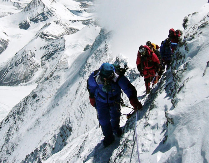
The Himalayas are a young, geologically active range, and the major Nepal earthquake of 2015 is thought to have changed the height of Everest slightly.
The science behind these calculations may be of some interest.
The mapping and calculation of heights and distances is one of those disciplines that dates into antiquity, for obvious reasons.
The base principle behind such calculations is triangulation, using triangles and combining the theorems of Euclidean geometry and trigonometric formulae.
An Euclidean triangle has three angles adding up to 180 degrees (or Pi radians).
The ratio of the length of the sides is constant for a given angle.
Secondary school maths students can calculate the length of the other two sides of a triangle if they know the length of one side and any two angles.
So, when you want to measure the peak of a mountain, you start by marking two observation points at some distance from the peak.
Ideally, those two observation points are on the same level ground.
You measure the exact distance between those two points. Then you take a theodolite -- a surveyor's instrument which allows you to measure angles -- and take sightings of the peak from those two observation points.
You measure the angle of sight from each observation point.
Now you know two angles, and the length of one side of a triangle connecting the peak and the two observation points.
So figuring out the height is possible.
While a ninth standard student can perform this calculation, gathering accurate data is not so easy.
For one thing, the Earth is not flat -- it's roughly spherical.
Second, it is often hard to find level ground near mountain peaks.
This triangle must be adjusted for those factors.
In practice, surveyors use multiple triangles with many observations to reduce error as far as possible.
In addition, heights are measured as 'above sea level'.
Sea level varies, depending on which sea, and the definition of sea level (averaging the height of tides, etc) varies, too.
In the 1860s, The Survey of India carried out the Great Trigonometric Survey.
It sent out people, who literally walked from beaches on the Bay of Bengal to the Himalayas, measuring elevation as they trudged along.
In GPS calculations, a similar principle of triangulation is used.
Radio signals are sent from an instrument placed on the peak to different satellites.
A satellite can calculate to a microsecond how long that signal takes to reach.
Since the speed of radio waves is known, satellites can 'multi-triangulate' to give a near-exact location.
Even so, there's surely a tiny error.
But regardless of that, there's no doubt Everest was, and is, the tallest mountain in the world, since Everest is at least 200 metres taller than the #2 mountain, K2 (aka Godwin Austen).
Feature Presentation: Ashish Narsale/Rediff.com