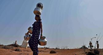
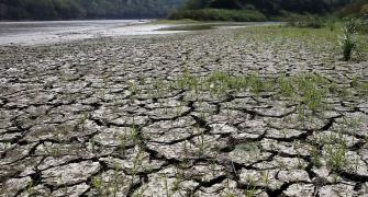
The southwest monsoon is poised to end July with a reasonable surplus following good rainfall across India, barring the rice-growing eastern region comprising east UP, Bihar, Jharkhand and Gangetic West Bengal.
From June 1 to July 30, the country has received 463.3 mm of rainfall, 6 per cent above the normal.
Scientists and meteorologists credited this to a combination of factors, including back-to-back low-pressure areas over the Bay of Bengal which moved in the westerly direction towards central and northern India, coupled with cyclonic circulation over the Arabian Sea, along with a favourably positioned axis of monsoon trough.
An active Madden-Julian Oscillation (MJO) also ensured that the impact of El Nino remained relatively subdued.
But some of these factors may subside now, leading to a resurgence in the negative impact of El Nino.
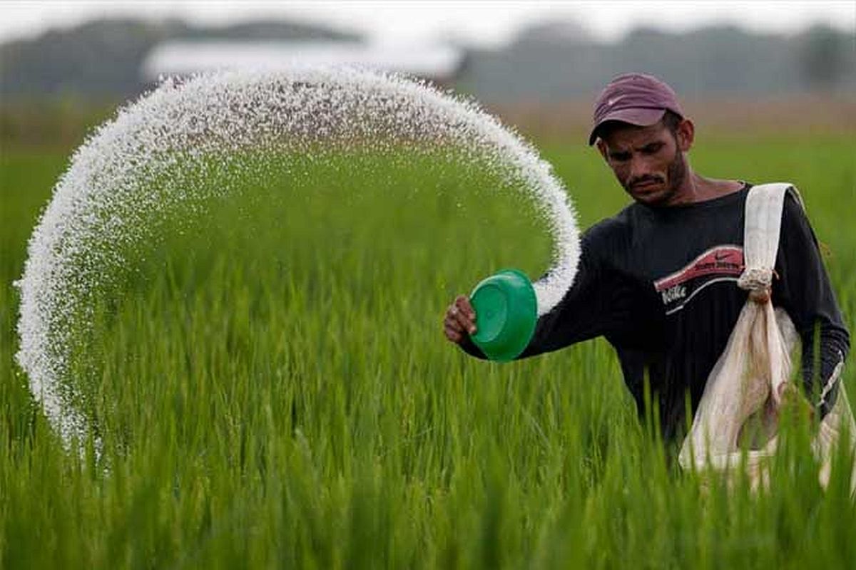
July and August are the two most crucial months for growth and development of kharif crops.
This period accounts for almost 60 per cent of total monsoon rainfall.
Any significant let up in rainfall in this period may have an impact on yields, especially in a year during which sowing has been delayed.
Until last week, kharif crops were planted in around 83.03 million hectares -- 0.16 per cent less than the area covered during the same period last year.
"In August, the impact of MJO would fade away, while the El Nino impact could get stronger and affect monsoon rainfall," Madhavan Rajeevan, former secretary of ministry of earth sciences, told Business Standard.
MJO is characterised by an eastward progression of both enhanced and suppressed tropical rainfall, observed mainly over the Indian Ocean and Pacific Ocean.
The wet phase of enhanced convection and precipitation is followed by a dry phase where thunderstorm activity is suppressed. Each cycle lasts approximately 30-60 days.
Because of this pattern, the MJO is also known as the 30-60-day oscillation, 30-60-day wave, or intra-seasonal oscillation. MJO was in an active phase in July but it is poised to get weak in August, said Rajeevan.
The El Nino impact on the Indian monsoon typically manifests by way of extended break in rainfall.
During this period in August, according to scientists and meteorologists, the monsoon trough could remain confined to the foothills of the Himalayas and also extreme southern India, such as Tamil Nadu.
"If this break extends beyond two weeks, it could cause trouble -- for which the government and others should be prepared," Rajeevan said.
Mahesh Palawat, vice-president meteorology and climate change at private weather forecasting agency Skymet, said in the next few days, monsoon troughs would shift towards the foothills of the Himalayas, which will cause good rainfall over the so-far rain deficient areas of Bihar, Jharkhand, east UP, and Gangetic West Bengal.
![]()
Feature Presentation: Aslam Hunani/Rediff.com