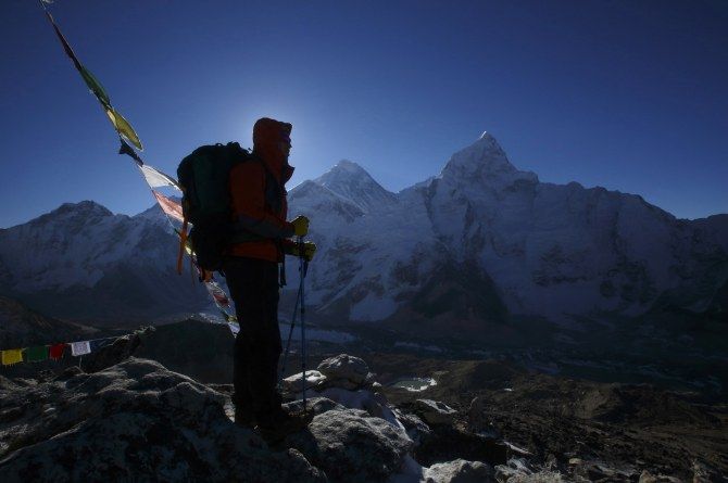
The devastating earthquake that has rocked Nepal not only killed thousands but may have also shrunk the height of the world's tallest peak -- Mount Everest -- by about 2.5 cm, according to analysis of satellite data.
The first good view of the aftermath of Nepal's deadly earthquake from a satellite showed that a broad swath of ground near Kathmandu lifted vertically, by about 1 metre, which could explain why damage in the city was so severe.
The data also indicated the tallest mountain in the world, Mount Everest, got a wee bit shorter, Live Science reported. The new information comes from Europe's Sentinel-1A radar satellite.
Scientists are racing to interpret the Sentinel data, which were made available last week just hours after the satellite passed over Nepal. The devastating 7.9-magnitude earthquake that struck Nepal on April 25 has claimed over 7,500 lives and injured another 16,390 people.
The home ministry said that a total of 2,79,234 houses have been completely damaged and 2,37,068 partially damaged due to the quake. The preliminary data can help guide relief efforts on the ground by identifying areas that were damaged or hit by landslides.
Researchers detected the vertical shift in the ground by comparing before-and-after radar images from the satellite using a technique that produces an image called an interferogram.
The resulting images have rainbow-coloured areas that represent the movement of the ground between the times each radar image was taken. Each colourful fringe on the European Space Agency's Nepal interferogramme reflects about 2.8 centimetres of vertical movement.
The results will be refined in the coming weeks, with as scientists further analysis the images and additional data from satellites become available.
According to the early analysis, a region 120 km long by 50 km wide lifted upward by as much as 3 feet during the earthquake, said Tim Wright, a geophysicist at the University of Leeds in the United Kingdom.
This uplift peaked only 17 km from Kathmandu, even though the city was relatively far from the earthquake's epicentre.
"That's one of the reasons why Kathmandu has so much damage," Wright told Live Science.
The radar images showed that some of the world's tallest peaks -- including Mount Everest -- dropped by about 2.5 cm, according to the nonprofit UNAVCO, a geoscience research consortium.
That's because the Earth's crust relaxed in the areas north of the Kathmandu, after the earthquake released pent-up strain.
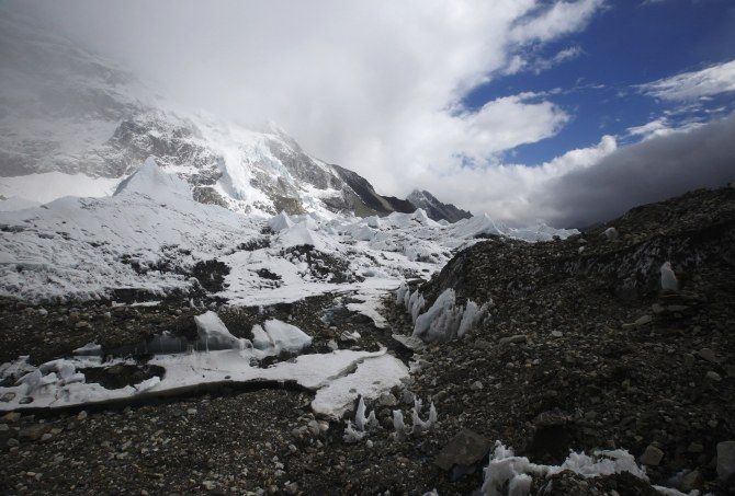
Still, on the whole, the Himalayas continue to grow to stupendous heights, studies show. Some parts of the Himalayas are rising about 1 cm every year, due to the ongoing collision between the Indian and Eurasian tectonic plates.
"This is only one earthquake, and the overall tectonics give you uplift of the mountains," Wright said.