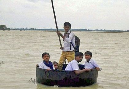
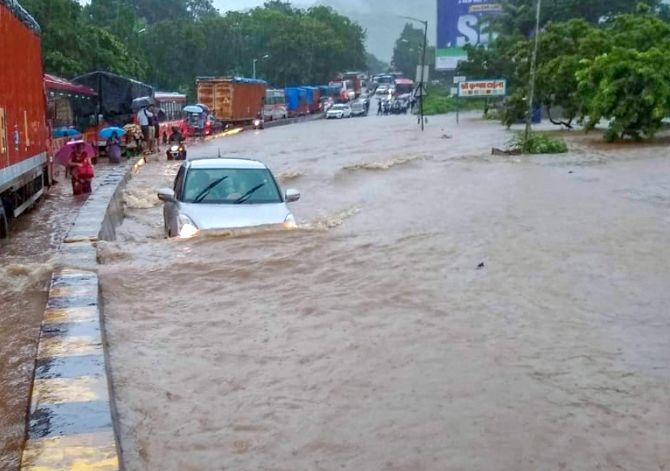
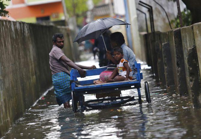
'It affects our economy, it is very important in many ways.'
'So we have to be the foremost experts in the world on the monsoon.'
'But the best minds in India have not devoted their time to the study of monsoon and they have followed the fashions of the West.'
Professor Roddam Narasimha, FRS, is a distinguished aerospace scientist, and among the first few Indian engineers to be elected to several leading international academies like the Royal Society, the US National Academies of Sciences, National Academy of Engineering and the American Academy of Arts and Sciences.
He has contributed enormously to the development of aeronautical and space sciences in India.
Presently at the Jawaharlal Nehru Centre for Advanced Scientific Research, Bengaluru, one of his current areas of research is cloud evolution and dynamics, a subject of great relevance to the Indian monsoon and global climate change.
Shivanand Kanavi discusses climate change, global warming and the monsoon with Professor Narasimha. The second segment of a two-part feature:
- Part 1: 'Rainfall is hardest to predict'
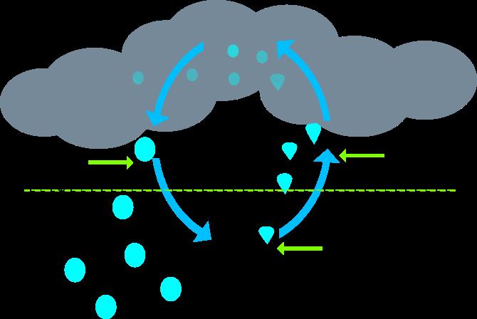
From vapour to liquid and liquid to solid.
Each time the phase changes occur, the flow properties in the cloud undergo a change.
Why, because you are suddenly putting heat into the flow.
One of the things I have been doing is finding out what happens when you put heat into flow.
You have to make a flow similar to a cloud.
Correct. You have to put the right amount of heat.
So my view now, based on our experiments is, you can make a cloud flow and a live cloud plume in any fluid you like -- Water, oil, mercury -- but subject to one condition: The amount of heat you put in must bear a certain ratio to the energy of the flow in the fluid.
You do that you will get something very similar to what happens in the sky.
A cloud is a special kind of plume. That is our conclusion.
First of all, we say cloud is a transient plume. It has a finite lifespan. I have been doing a lot of experiments in the lab and on the computer and it is a lot of fun.
It comes as a surprise to many people that these things that we see every day, which we admire and love are not understood.
Unfortunately, by the 1970s, it was realised that those simple experiments were not behaving like clouds at all. So the attempt to make cloud flows in the lab sort of declined.
But you can say we picked it up where they had stopped. In the 1980s, I started an experiment in IISc (the Indian Institute of Science, Bengaluru) and that experiment turned out to be very revealing.
From then on I have been doing clouds in some form or other. We are getting closer and closer to a cloud flow and you can reproduce a wide variety of cloud types in our water tank.
At that stage a lot of people started taking notice. Now I am interested in getting the details right on the computer.
In the lab, it is difficult to reproduce all conditions, including water vapour, condensation and so on because the setup in the lab cannot be very big.
But, in the computer, I have from one point of view more freedom provided I have access to super computer time. Right now we are making cloud simulations on the computer.
But that is no longer big enough. IITM (The Indian Institute of Tropical Meteorology) Pune, has a very powerful computer. So, I hope to do some computations there.
Now that we have 100 years of reliable data from the Indian Meteorology Department, can we compare the actual weather with Panchanga's predictions and see any correlation and how accurate the predictions were?
In the princely state of Mysuru, there was a Panchanga made with Maharaja's patronage called the Ontikoppala Panchanga.
But, we know that Panchanga depends on the longitude, etc. So, there is no way that it can be precise for the whole of Karnataka. However, this doesn't mean they knew nothing.
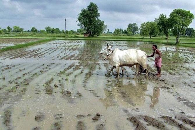
They did realise that this rain is cyclical. Varsha (a year) is really rain.
Rain is seasonal -- once a year. So the word for year and word for rain is practically the same.
And they had a rough idea about how long it lasted -- 3-4 months.
So I did one thing at IISc though not along the lines you are thinking. I said we should talk to the farmers and see what kind of forecasts they are doing.
So we met a few farmers and invited them to Bengaluru at the Institute of Science. They were first of all very pleased that people actually came to them to talk about weather.
I had all the Met department statistics, recorded rainfall, converted into Nakshatras which is available on the CAOS (Centre for Atmospheric and Oceanic Sciences, IISc) Web site.
Then we had a long chat, they all said the predictions we get are not good both from Panchanga and the Met department.
Whereas in the US, every region, every TV channel will tell you 12-hour, 24, 48, 72 hours predictions and they are fairly accurate.
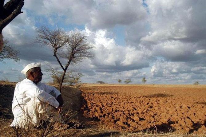
So what makes weather prediction complicated in India?
The tropics are basically more complicated.
It is not that the British and Americans are better at predicting the monsoons than us. They have made big mistakes time and again.
Of course, we keep making mistakes but so have they.
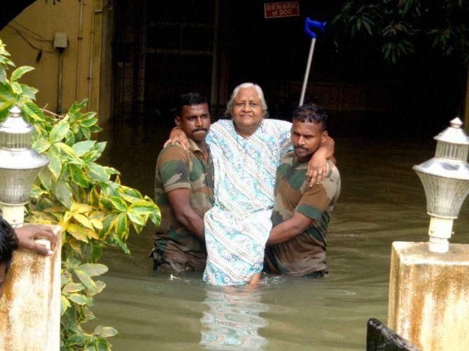
We are more interested in the monsoon than anyone else in the world -- it affects our economy, it is very important in many ways.
So we have to be the foremost experts in the world on the monsoon.
But the best minds in India have not devoted their time to the study of monsoon and they have followed the fashions of the West.
And the West will study what is important to them.
We can say the Indian scientific community as a whole has not looked at our own problems with the same intensity that the Western world has looked at their problems.
What we can say is that with the state of knowledge existing in the world today, not just in India, predicting the monsoon is a tough job.
The Indian response has been to borrow unknown American computer codes and so on, but our experience with them is not any better.
Americans themselves say, 'We can't predict monsoons'.
The physical phenomenon connected with El Nino was first discovered by a British head of the Indian Met department Gilbert Walker, around 1915-1920.
He was a very bright man. When he came here he didn't know any meteorology, but he was fascinated by it.
But after a while he decided that the monsoon was too erratic and he didn't see how you one could understand the dynamics completely.
He said, 'I will try and do statistical predictions' and introduced statistical predictions to the Met department.
Till today, Walker's philosophy -- not precisely his formula but his philosophy -- is what governs predictions in our IMD. It is based on some correlations.
There is now Vasant Gowarikar's model that took many more parameters than Walker's did, but the philosophy was exactly the same.
One of the things that Walker found was that monsoon rainfall in India had a link with what happened in Australia.
In the days of the British Empire he easily got data from many parts of the British Empire.
All the other global networks were not so strong. So he found, for example, what pressure is doing in Port Darwin in Perth has a link with what monsoon is doing in India with a lag.
At that time, this idea was unthinkable. Everybody said monsoons come because of the clouds, what does it have to do with what is happening in Perth.
In fact, people were critical of him. Which is ironic.
Walker didn't live to see that a couple of years after he died, the connection was established by much better measurements. It left no doubt.
That phenomenon is what has grown into El Nino.
The connection that Walker saw between Indian monsoon rainfall and what happened in Northern Australia is one signal of El Nino.
But it is not only Australia.
EL Nino is southern oscillation.
There is an Atlantic northern oscillation. More such oscillations have been discovered.
If you have an oscillation, it is slightly more predictable.
Therefore a link with the monsoon can be detected, which is what Walker did.
So you can say it was discovered in India. Not by an Indian, but by a British meteorologist.
Of course there were many people who helped him and all the calculations were made by Indians.
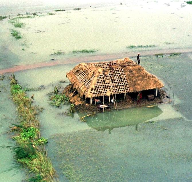
The village was completely destroyed after the 'super cyclone' hit the state on October 29 that year. Photograph: Reuters
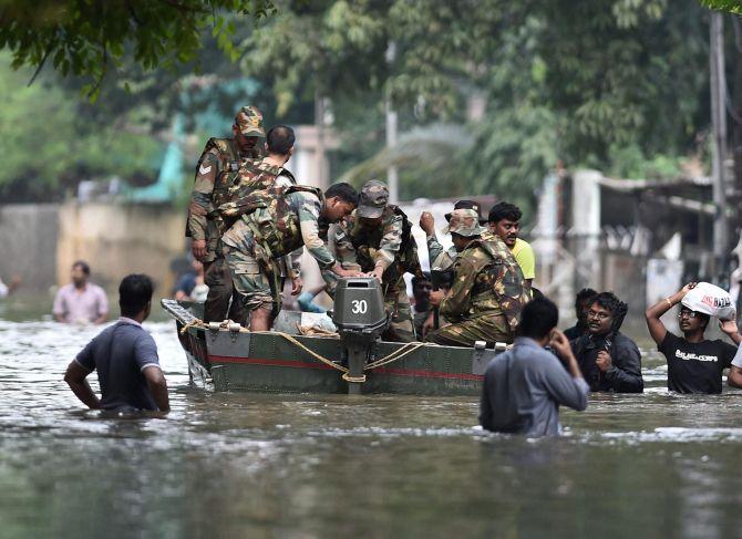
Recently, there was this big cyclone over Odisha. The Indian met department got it right because they had overall satellite data.
Therefore, the cyclone was tracked right from the time it was born. And if you remember in the previous super cyclone (in 1999) thousands of people were killed.
This time it was more like 10 or 20 people.
In fact our met department had also predicted the cloud burst that happened in Kedarnath, Uttarakhand. But no government department took it seriously. And it led to a major disaster.
So when this cyclone came to Odisha no bureaucrat and politician wanted to get caught unprepared once again. So they took it seriously and very few people died in Odisha.
So that kind of relatively short-term prediction we are getting better at.
Doppler radar too helps a great deal in short-term prediction whereas our satellites help a great deal over the life cycle of a cyclone.
They also help in studying climate change. Now we can track changes that have occurred over the past 20, 30 years.
Northern latitudes do not have this kind of cumulus clouds. They are largely static clouds, spread clouds.
So that is why clouds are very important to India and that is how my interest in clouds started.
Production: Ashish Narsale/Rediff.com