A series of seismic activities in parts of Karnataka are not major ones, hence there was no need to worry because the Deccan Plateau is a safe zone, geologists have said.
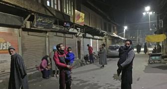
The tremors in Kodagu district and adjoining districts of Hassan, Shivamogga, Chikkamagaluru and Dakshina Kannada besides Vijayapura and neighbouring regions in north Karnataka have been felt since June 26.
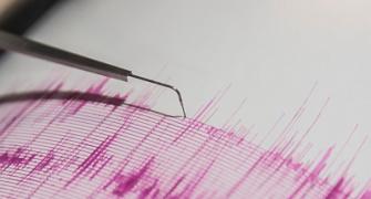
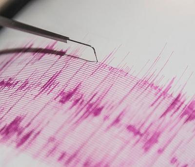
On Saturday, the quake measured 4.4 on the Richter scale in Vijayapura bordering Maharashtra, and there was another tremor of 1.8 this morning in south Karnataka.
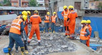
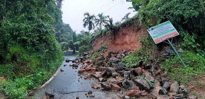
Kodagu reported several incidents of landslide and in one incident three days ago, three labourers were killed.
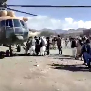
Incidentally, the seismic activities became more visible soon after a major earthquake in Afghanistan, which killed several people and left many injured.
But, the geologists in Karnataka were unanimous in saying there was no need to panic as the Deccan Plateau is a safe zone seismically.
They were also of the opinion that these tremors were essential as the pressure caused by the disturbance is coming out in the form of mild tremor.
Earthquake is not a regional phenomenon. The Indian subcontinent is always moving. Each year, the subcontinent is moving 0.5 centimetre. So, there would always be some internal disturbance, Dr Lakshmamma, joint director in the department of mines and geology, told PTI.
“What we had studied in school that the Deccan Plateau is safe is true even now, but there are some internal disturbance at the crust. So the pressure caused due to disturbance should come out, otherwise, if the pressure remains forever, it can cause major disturbance,” she said.
“These disturbances coming out through small tremors is good. We are still in the safe zone. We will be safe even if there is an earthquake of 5 on the Richter scale,” the geologist said.
According to her, the river valleys themselves are the fault zones.
The valley region of major rivers are the lineaments, which are fault zones where weak areas and fissures are formed in hard rock terrain, Lakshmamma said.
Whenever there are rains, water percolates into the fault zones and gets filled up in empty places, the geologist added.
Another geologist Professor Renuka Prasad also said these are too minor a phenomenon to worry.
“Earthquakes have been happening across the world and at many places, but we are coming to know about the tremors because we are in an information era. Further, more devices have been installed at various places to study the seismic activities, due to which we get information in real time and we panic,” he said.
Hydro-geologist Dr Kumar C, who is a professor at the Nrupathunga University, pointed out that the intensity of seismic activities was increasing from two on Richter scale to 4.4 on Saturday in Vijayapura in north Karnataka.
“But, there is no need to panic as of now but these seismic activities give us some indications that we should be on the alert and avoid using substandard materials for constructing buildings,” he said.
Meanwhile, sources in the mines and geology department said a team of geologists from the State government, Geological Survey of India, and Suratkal- based National Institute of Technology, visited Kodagu to study the phenomenon.
Since June 26, there were seven to eight incidents of tremors in and around Madikeri in Kodagu district due to which the team was dispatched there, they said adding that the study revealed that Kodagu falls under zone-3 of seismograph.
“We got to know that some oscillation happened. Kodagu is a hard rock terrain made up of charnockite,” a source said.
To study why there was tremor despite being sitting on a hard rock, the team went into the history of the earthquake. The team found out that the Geology Department of the Mysuru University and the GSI had also studied the type of earth found in Kodagu.
“We came across that there is a shear zone or the weak zone. One side there is Kodagu block, and on the other is the Western Ghat block. Both the blocks are becoming divergent. They are moving into each other. That's why we see some disturbance, some discontinuity happening,” he said.
According to him, the shear zone is 100-km long with 30-50 km width, which runs from Kasargod in Kerala to Palakkad.
Further, the Cauvery river valley itself is a fault zone making it prone to earthquakes but they are not the major disturbance area, he added.
Regarding tremors in north Karnataka, he said the Bhima river and Krishna river are the major fault zones due to which the tremors occur.