The threat of landslides and mudslides remains high in the earthquake-hit Nepal in the coming weeks, and the risk is likely to increase when the monsoon rains arrive this summer, scientists have warned.
The region at highest risk for landslides and mudslides is the mountainous area along the Nepal-Tibet border, north of Kathmandu and west of Mount Everest, directly above the fault rupture, according to researchers at the University of Michigan (U-M).
U-M geomorphologist Marin Clark and two colleagues have assessed the landslide hazard in Nepal following Saturday's magnitude-7.9 earthquake.
They looked for locations where landslides likely occurred during the earthquake, as well as places that are at high risk in the coming weeks and months.
The analysis found tens of thousands of locations at high risk, Clark said.
"The majority of them, we expect, have already happened and came down all at once with the shaking on Saturday," she said.
"But there will still be slopes that have not yet failed but were weakened. So there will be a continued risk during aftershocks and with the recent rainfall, and again when the monsoon rains arrive this summer," said Clark.
Information from the U-M-led study is being used to help prioritise both satellite observations and the analysis of data from those satellites, said Clark, an associate professor in the U-M Department of Earth and Environmental Sciences.
"The satellites looked first at places where lots of people live, including Kathmandu and the foothills areas to the south," Clark said.
"Those areas do not look significantly impacted by landsliding, but we're worried about the high country," she said.
The highest-risk zone is at elevations above 8,200 feet in a region that covers 17,550 square miles.
Cloud cover has blocked observation of much of that region since Saturday's earthquake, said Clark.
But news stories and social media reports of landslides in Nepal's Gorka District and Langtang Valley are consistent with the team's assessment, which showed that those areas are at high risk, she said.
Remote villages are scattered throughout the high-risk zone, which also contains the main highway that connects Kathmandu and Tibet. The area is popular with trekkers and mountaineers, as well.
The team's assessment of the landslide risk was based on a computer analysis that looked at earthquake shaking, slope steepness and the strength of various rock types.
The death toll in Nepal's devastating earthquake has crossed 5,000 with more than 8,000 people injured.
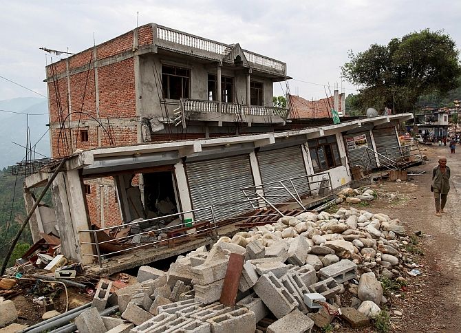
Image: A resident walks past damaged buildings at a village following Saturday's earthquake in Sindhupalchowk. Photograph: Danish Siddiqui/Reuters