 | « Back to article | Print this article |
The unending wait for rains and respite from searing heat in north India, including Delhi, is likely to stretch a bit longer as there are no favourable conditions for advancement of the Southwest Monsoon till July 7, the India Meteorological Department (IMD) said on Thursday, forecasting an overall normal precipitation in the country for July.
Blistering heat scorched north India on Thursday driving power demand to new highs while the IMD warned that the heatwave is likely to continue in this region for the next two days.
The IMD has also cautioned that the break in the monsoon could impact agricultural operations like sowing and transplantation of crops, irrigation scheduling, power requirement.
Although the IMD said the country as a whole will receive normal rainfall in July, it has a forecast of 'below normal to normal rainfall probability' over many areas of northwest India and some parts of south peninsula, central, east and northeast India.
'Normal to above normal rainfall' is most likely to be experienced over parts of central India and adjacent areas of peninsular India and Gangetic plains, it said.
IMD Director General Mrutunjay Mohapatra said rainfall is not expected to be good in the first week of July and the precipitation activity is likely to pick up in the second half of the second week of the month.
'Monthly rainfall for July 2021 over the country as a whole is most likely to be normal (94 to 106 per cent of Long Period Average),' the IMD said.
'Below normal to normal rainfall probability is likely over many areas of northwest India and some parts of south peninsula, central, east and northeast India.
'Normal to above normal rainfall is most likely to be experienced over parts of central India and adjacent areas of peninsular India and Gangetic plains,' it said.
The Southwest Monsoon reached Kerala, which marks the official commencement of the four-month rainfall season, on June 3, two days after its normal onset date.
But it quickly covered south, east, central, east, northeast India and even some parts of north India.
The monsoon has covered the entire country except for Haryana, Delhi, parts of west Uttar Pradesh, west Rajasthan and Punjab.
With no rains, temperatures have breached the 40-degree Celsius mark in several parts of north India.
The IMD said due to likely dry westerly/southwesterly winds from Pakistan to northwest India at lower levels, heat wave conditions in isolated/some pockets over Punjab, Haryana, Chandigarh and Delhi, north Rajasthan, Uttar Pradesh and northwest Madhya Pradesh are likely during next two days.
'Forecasts based on model consensus show that the formation of a low pressure system over north Bay of Bengal is unlikely till July 7. Prevailing meteorological conditions, large scale atmospheric features and the forecast wind pattern by dynamical models suggest subdued rainfall activity to continue over northwest, central and western parts of peninsular India during next seven days,' it said.
Since June 19, no progress has been observed in the advancement of the monsoon.
June recorded 10 per cent more rainfall than normal.
A large part of it was received between June 3 and 19.
Mid-latitude westerly winds, an unfavourable Madden Julian Oscillation (MJO) and the absence of formation of a low pressure system over the north Bay of Bengal are some of the reasons for a break in the monsoon, Mohapatra explained.
Asked if the gap in monsoon rains is normal, he said, "Southwest monsoon does take a break and it is normal. But it is not usual for the break to stretch so much."
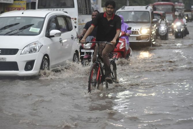
However, under the influence of strong moist southwesterly winds from the Bay of Bengal, fairly widespread rainfall with isolated heavy to very heavy rainfall very likely over Bihar, sub-Himalayan West Bengal, Sikkim and northeastern states during next five days.
Chances of occurrences of moderate to severe thunderstorms accompanied by frequent cloud to ground lightning are very likely over east Uttar Pradesh, Bihar, Chhattisgarh and Jharkhand during the weak monsoon period, it added.
Of the four months, the country receives maximum rainfall in July and August. July is also the time when sowing has already taken place in south, west and central India or is yet to start in many parts of north India.
"It is likely to impact agricultural operations like sowing and transplantation of crops, irrigation scheduling, power requirements.
"The normal transplanting window for rice as well as sowing of other major crops is the month of July in northwest (maximum irrigated) and central India.
"Early sown crops will require protective irrigation or to conserve soil moisture to prevent evaporation losses," Mohapatra cautioned.
He further said the latest global model forecasts indicate that the prevailing neutral El Nino-Southern Oscillation (ENSO) conditions are likely to continue over the equatorial Pacific Ocean.
There is an enhanced possibility of development of negative Indian Ocean Dipole (IOD) conditions over the Indian Ocean from July to September, he said.
IOD is associated with the heating and cooling of Indian Ocean waters. A positive IOD is associated with the cooling of Indian Ocean waters while a negative IOD is linked to its heating which is believed to be not good for the Indian monsoon.
As sea surface temperature conditions over the Pacific and the Indian Ocean are known to have a strong influence on the Indian monsoon, the IMD is carefully monitoring the evolution of sea surface conditions over these ocean basins, Mohapatra said.