 | « Back to article | Print this article |
Even though the project is at an experimental stage, railway officials say that if it is successful, Indian Railways would consider replicating the technology across the country, reports Shine Jacob.

The manual safety checks of railway tracks may soon be a thing of the past if the Indian Railways’ recent experiment of using a three-dimensional mapping technology to do the job is adopted across its networks.
The pilot for the project is being conducted by Mumbai-based Genesys International Corporation in a stretch under Konkan Railway near Ratnagiri in Maharashtra. The experiment is using a remote image sensing technology called LiDAR or Light Detection and Ranging to spot defects and wear and tear in the tracks. (See this external image for a sample image of LiDAR technology in play imaging a railway track.)
This comes on the heels of Finance Minister Nirmala Sitharaman rooting for private sector participation in key areas of the railways’ operations such as delivery of passenger and freight services, rolling stock manufacturing and track maintenance.
The proposal to engage private players for track maintenance was floated by the ministry of railways earlier this year as the national transporter was facing a shortage of safety staff.
“Following this, the zones were directed to bring in private players and the Konkan Railways initiative was started in April,” says a senior railways official. “The plan is to introduce private players to these operations on a small scale. If it succeeds, we will expand it.”
Around 150,000 positions are reportedly lying vacant with the Indian Railways.
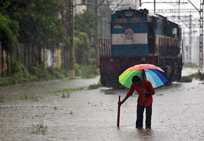
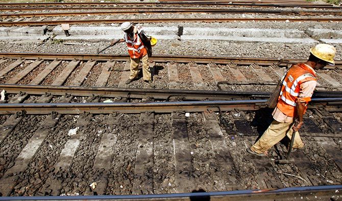
At present, thousands of “keymen” or trackman or gangmen throughout the country patrol the railway tracks every day to manually check every nut and bolt for defects. According to an industry estimate, a “keyman” inspects up to 8 km of tracks per day, sometimes even in difficult weather conditions.
When Genesys reached out to Konkan Railways with its new technology to accurately check for wear and tear in railway tracks, the latter gave it two stretches covering a total of 20 km near Ratnagiri to conduct a proof of concept. “Our aim is to improve safety that may also help in increasing the average speed of trains,” says Om Hemrajani, principal at Genesys International Corporation.
According to Genesys, prior to the survey, a team of 20 people worked closely with railway authorities including the “keymen”, inspecting the tracks, documenting the daily workflow, studying rail inspection techniques and recording suggestions that could be integrated with the solution.
In the PoC stage, Genesys has installed 3D image scanners on the rakes of passing trains to scan the tracks, the ground, and all railway assets that are close by. Typically, four 3D scanners are used in each engine rake, with two focusing on the ground and two on both sides. The captured data is relayed back to the tracking centre, where it is processed through a specifically designed software to build a 3D model of the track.
Since the images are geo-referenced, one can point to the exact location of a defect, if any. “The data tracks the health of the tracks and captures even the minutest defects. It can also measure the distance between two trains at a given point in time,” Hemrajani adds.
LiDAR is an optical remote sensing technology that measures distance to an object by illuminating the targeted object with a laser light and analysing the back scattered light. For the Konkan Railways project, Genesys is using its state-of-the-art 3D mapping technologies such as Mobile LiDAR System and Laser Rail Inspection System.

According to the company, mobile mapping is the process of collecting geospatial data from a moving vehicle, which is typically fitted with an advanced range of photographic LiDAR and geo-positioning sensors. The outputs from these systems are rich, realistic, and provide accurate data for various applications.
“This is a cost-effective technology which is critical for the expansive railway network of India. It is also very scalable, given that the data is collected at 40 km per hour at the highest resolution possible as opposed to 8 km per day per keyman as is the current norm,” says a Genesys official.
Even though the project is at an experimental stage, railway officials say that if it is successful, Indian Railways would consider replicating the technology across the country.
In yet another move to tone up operations, certain railway zones have started using drones on a pilot basis.
Photographs: Top, Francis Mascarenhas/Reuters. Lower images, Punit Paranjpe/Reuters.
